Allied Market Research published a report, titled, “Aerial Imaging Market by Application (Geospatial Mapping, Disaster Management, Energy and Resource Management, Surveillance and Monitoring, Urban Planning and Others), End User (Government, Military and Defense, Energy, Agriculture and Forestry, Civil Engineering, Media and Entertainment, and Commercial), and Platform (Fixed Wing Aircraft, Helicopter, UAV and Drone and Others): Global Opportunity Analysis and Industry Forecast, 2021–2030″. According to the report, the global aerial imaging industry generated $2.26 billion in 2020, and is anticipated to generate $8.52 billion by 2030, witnessing a CAGR of 14.2% from 2021 to 2030.
Download Report (260 Pages PDF with Insights, Charts, Tables, Figures) at https://www.alliedmarketresearch.com/request-sample/294
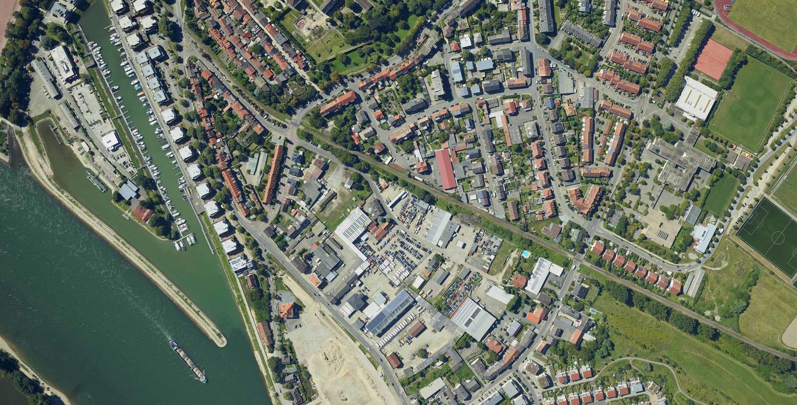
Prime determinants of growth
Rise in demand for aerial imaging in varied commercial applications, surge in use of aerial imaging for disaster risk reduction & prevention, and use of aerial imaging technology in setting up 5G infrastructure drive the growth of the global aerial imaging market. However, inaccuracy in image data collection and rise in concerns over cyber-security and data security regarding drones hinder the market growth. On the other hand, surge in demand for aerial imaging for urban planning and rise in incorporation of augmented reality (AR) with drones present new opportunities in the coming years.
Covid-19 Scenario
- The outbreak of the COVID-19 pandemic has had a negative impact on the growth of the global aerial imaging market, owing to two major challenges i.e. revenue crunch and rising maintenance costs.
- Furthermore, the reduced GDP of major economies, such as the U.S., the UK, China, France, India, Germany, and others, in 2020, resulted in a decline in investment in emerging technologies, including aerial imaging.
- The reduction in aerospace investment had a negative impact on unmanned aircraft development and deployment plans, particularly unmanned aerial vehicles (UAVs), thereby limiting the availability for UAV-based aerial imaging services globally.
Request for Customization at https://www.alliedmarketresearch.com/request-for-customization/294
The geospatial mapping segment to maintain its leadership status throughout the forecast period
Based on application, the geospatial mapping segment held the highest market share in 2020, accounting for one-fourth of the global aerial imaging market, and is estimated to maintain its leadership status throughout the forecast period. This is because geographical mapping through satellites has a wide range of applications in various sectors such as environmental condition analysis, archaeology, mining study and formation of maps and charts etc. Moreover, the urban planning segment is projected to manifest the highest CAGR of 17.2% from 2021 to 2030, owing to growing activities related with urban planning such as land inspection, identification of population risk and tracking of construction activities and others.
The Government segment to maintain its lead position during the forecast period
Based on end user, the Government segment accounted for the largest share in 2020, contributing to one-fifth of the global aerial imaging market, and is projected to maintain its lead position during the forecast period. This is due to application such as land mapping, environmental protection, disaster management, GIS updates, urban development, homeland security, and public safety. However, the civil engineering segment is expected to portray the largest CAGR of 13.4% from 2021 to 2030. This is because it allows companies do real-time monitoring of construction projects.
Interested to Procure the Data with Actionable Strategy & Insights? Inquire here at https://www.alliedmarketresearch.com/purchase-enquiry/294
North America to maintain its dominance by 2030
Based on region, North America held the highest market share in terms of revenue 2020, accounting for nearly two-fifths of the global aerial imaging market, owing to high adoption of aerial imagery among government and military agencies in the region. Moreover, the Asia-Pacific region is expected to witness the fastest CAGR of 16.0% during the forecast period, increase adoption of aerial imaging in various end use sectors in the region.
Purchase Complete Report Now! https://www.alliedmarketresearch.com/checkout-final/9cf865d6e332e93d0dae79e2010799c5
Leading Market Players
- Aerial Imaging Productions, LLC
- Blom Norway AS
- Cooper Aerial Surveys Co.
- Digital Aerial Solutions (DAS), LLC
- EagleView Technologies, Inc.
- Fugro N.V.
- Global UAV Technologies Ltd
- Kucera International
- Landiscor
- Nearmap Ltd.
Schedule a FREE Consultation Call with Our Analysts to Find Solutions for Your Business at https://www.alliedmarketresearch.com/connect-to-analyst/294
Similar Reports We Have on Aerospace Industry:
Advanced Aerial Mobility Market by Mode of Operation (Piloted and Autonomous), End Use (Cargo and Passenger), and Propulsion Type (Parallel Hybrid, Electric, Turboshaft, and Turboelectric): Global Opportunity Analysis and Industry Forecast, 2025–2035.
Unmanned Aerial Vehicle (UAV) Market by Type (Fixed Wing, Rotary Wing, and Hybrid), Application (Military & Defense, Civil & Commercial, Logistics & Transportation, Construction & Mining, and Others), and Weight (Less Than 50 Kg, and More Than 50 Kg): Global Opportunity Analysis and Industry Forecast, 2021–2030.
Commercial Satellite Imaging Market by Application (Geospatial data acquisition & mapping, Urban Planning & Development, Disaster Management, Energy & Natural Resource Management, Surveillance & Security, Defense & Intelligence and Other) and End User (Government, Military & Defense, Forestry and Agriculture, Energy, Civil Engineering and Archaeology, Transportation and Logistics and Others): Global Opportunity Analysis and Industry Forecast, 2021–2030.